Navigate Naturally
Discover walks shared by our community of authors, guided by the route's natural landmarks.
Testing is open now — install the app and explore walks guided by landmarks.
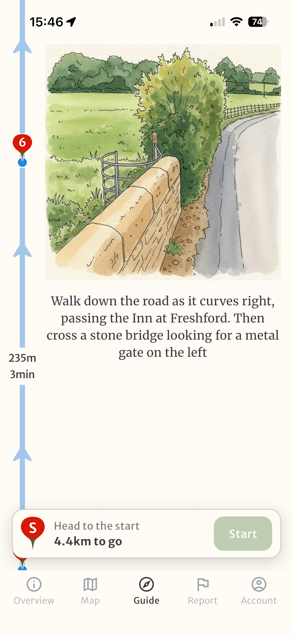
The Art of Wayfinding
Wayfinding through landmarks is deeply human and intuitive. Long before GPS and digital maps, our ancestors navigated using visual cues and spatial memory—a skill as old as humanity itself.
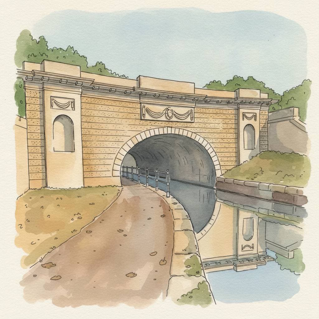
Hawthorn returns to this timeless approach. Rather than just following a trace of GPS coordinates, you navigate using the distinctive landmarks you'd actually notice and remember: gates, trees, path junctions, cairns. The same visual cues that have guided walkers for millennia, now thoughtfully organized into clear, reliable routes.
See It In Action
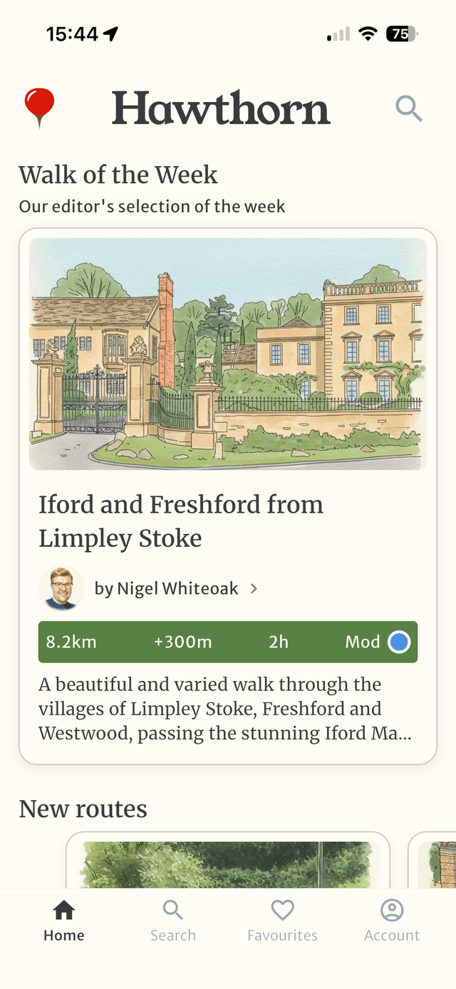
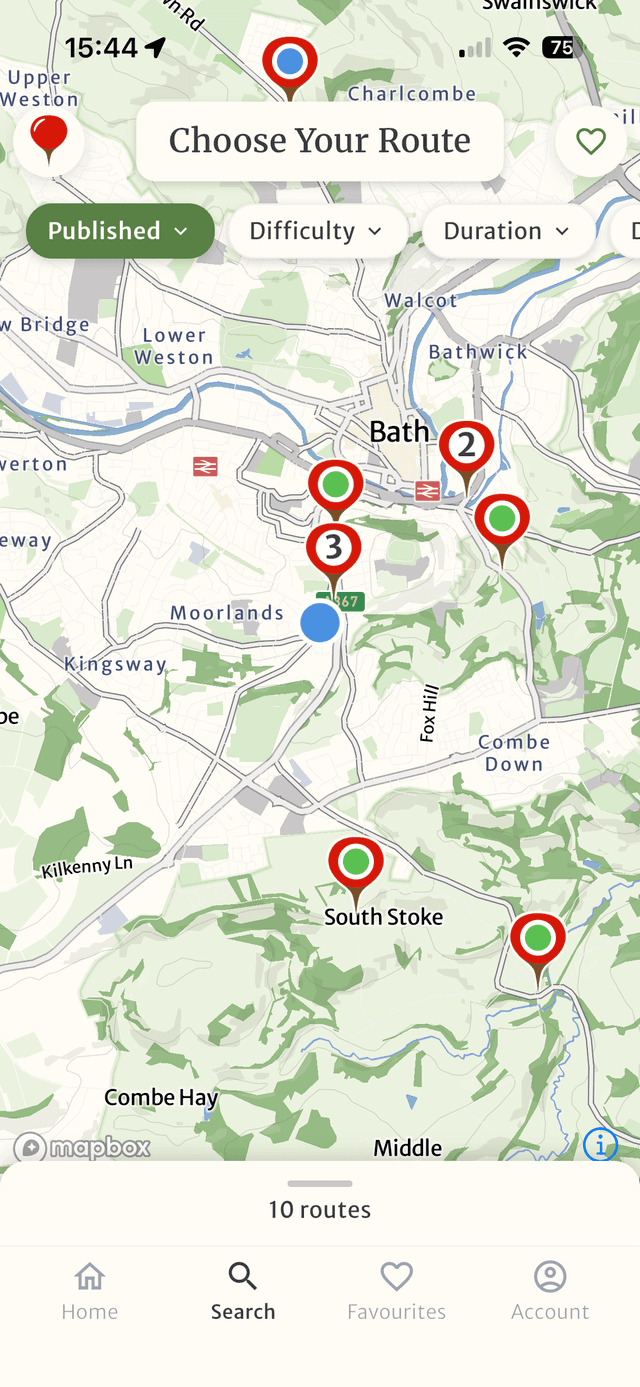
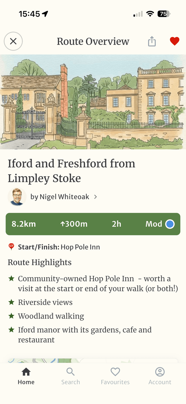
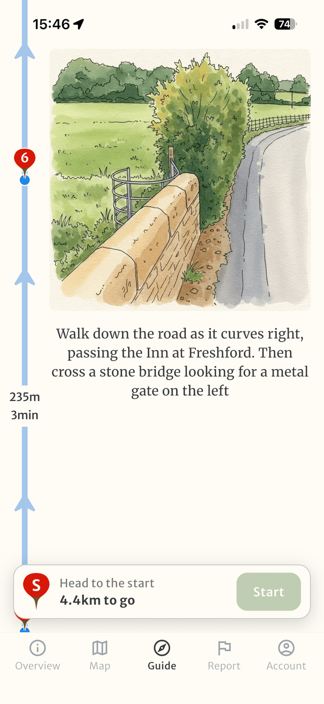
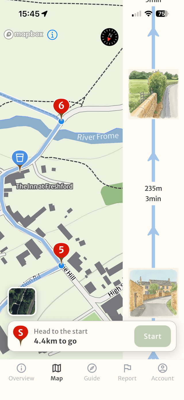
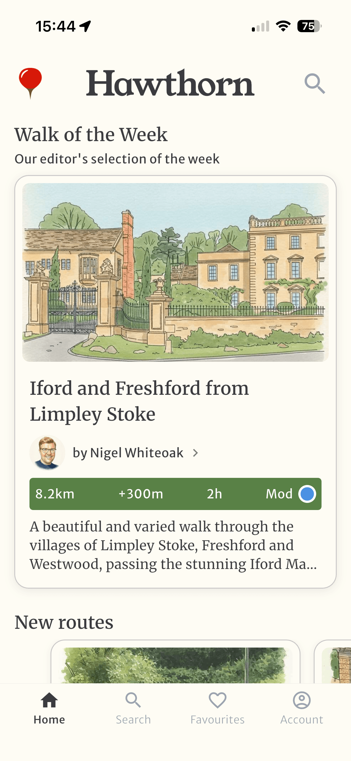
Discover new routes
Explore routes made for landmarks
Discover walks crafted by our community, each waypoint chosen for its distinctive features.


Early Users Love It
“It is so easy to use and effective at guiding you along a new route”
“Gives you the opportunity to experience walks you otherwise wouldn't have the confidence to try”
“It's a great idea - combining the functionality of conventional maps with the personal, human nature of giving directions”
Why Hawthorn?
You'll recognize a hawthorn instantly: brilliant white blossom in May, scarlet berries in autumn, that unmistakable thorny silhouette. Its distinctiveness made it the most frequently mentioned tree in Anglo-Saxon boundary charters—for over a thousand years, it's been the landmark people used to mark their way.
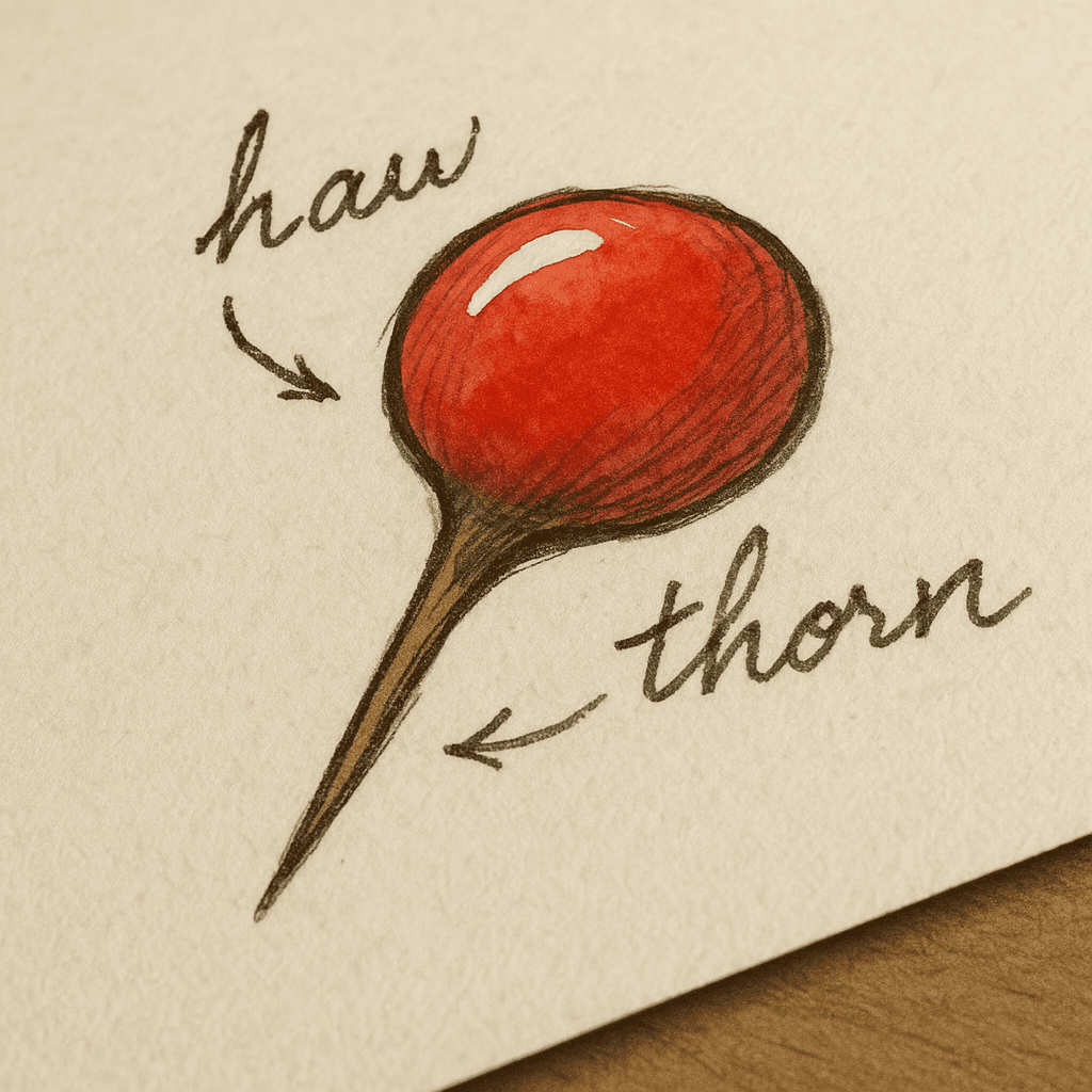
An app about navigating using landmarks deserves a name as timeless as the journey itself—one that's guided people for thousands of years. Our route pin logo fuses the round haw berry with the sharp point of a thorn, bringing together the tree's most distinctive features into a modern symbol for finding your way.
Start testing today
Testing is open now — install the app and explore walks guided by landmarks.