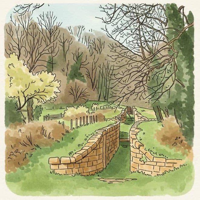
South Stoke Loop from Midford

Route statistics: 5.3 km distance, 228 m elevation gain, 1 hr 20 min estimated time, moderate difficulty
Route Highlights
- Remnants of the Somerset Coal Canal
- South Stoke village and its community-owned pub The Packhorse
- Discover the mysterious watery bridge!

Start/Finish: Hope & Anchor
Route map
Loading map...
© OpenMapTiles © OpenStreetMap contributors; contains OS data © Crown copyright and database right (OGL); elevation © Copernicus
Elevation profile
About this walk
A pleasant loop between two pubs passing disused railways and canal infrastructure.
Get testing South Stoke Loop from Midford
Install Hawthorn and navigate this walk with landmark-based directions.
Routes are created by other users and may not reflect current conditions. Please use your own judgment. Safety guidance